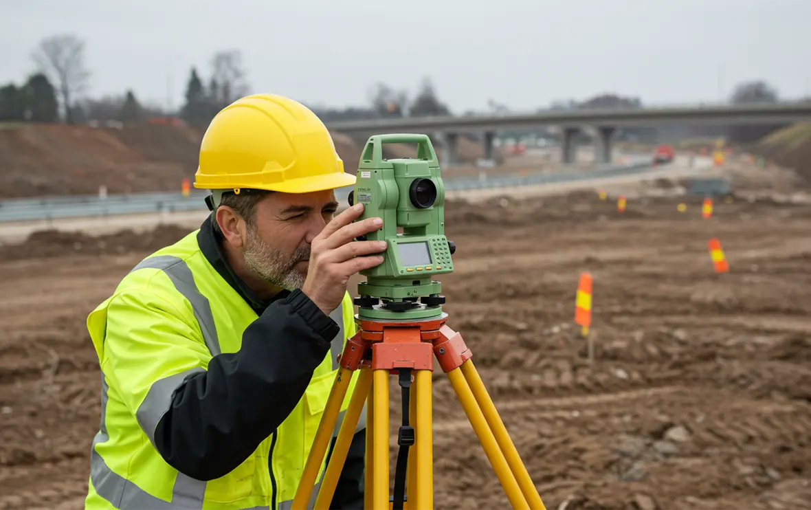
Geotechnical Survey
Bay Rocq provides critical geotechnical investigations and land survey services to guide safe, accurate, and cost-effective construction. Our technical assessments reveal subsurface conditions, while our precise surveys establish land boundaries, site elevations, and topography.
We utilize modern techniques, including GIS mapping, GPS surveying, and soil analysis, to generate dependable data for design, planning, and risk management. Our geotechnical and survey services form the backbone of successful infrastructure and real estate development.
Ground Truth Services
We deliver essential geotechnical and survey solutions that inform sound engineering, minimize risk, and ensure regulatory compliance.
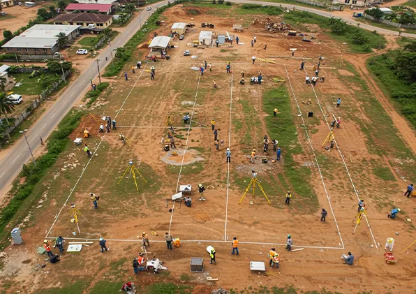
- Topographic & Boundary Surveys
- Soil & Subsurface Investigation
- GPS/GNSS Mapping & Layout
- Environmental Impact Assessments
- Site Condition Reports
Building on Certainty
From land data acquisition to geotechnical profiling, we ensure every project begins with accurate, actionable insight.
- Soil Bearing Capacity Testing
- Foundation Suitability Reports
- Floodplain & Water Table Mapping
- Construction Layout Staking
- Structural Geology Assessments
- Borehole Drilling & Logging
- Legal Land Documentation
Our findings give clients confidence to design and build on reliable ground—optimizing safety, time, and investment.